We pulled into the Main Street Station Casino RV Park after driving around 140 miles, mostly on Interstate 15. I am not a fan of driving on Interstates and avoid them for the most part but sometimes it is the best way to get from point A to point B. We chose Main Street Station Casino RV Park because we wanted to spend more time in the older downtown part of Las Vegas and because we liked their rate of $19/night for full hookups. Yes, the sites are tight but doable.
The second day we visited Red Rock Canyon National Conservation Area. Our last visit a couple of years ago we hiked near Red Rock Canyon but wanted to hike inside the park this time. After visiting the Visitor’s Center and hearing about good hikes we chose to hike on the Calico Hills Trail. We drove from the visitor’s center on the thirteen mile scenic loop to the first stop at Calico 1 Trailhead.
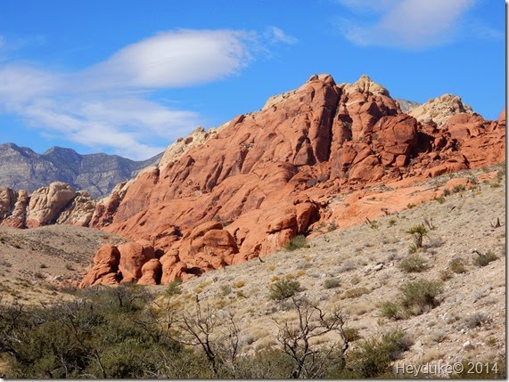
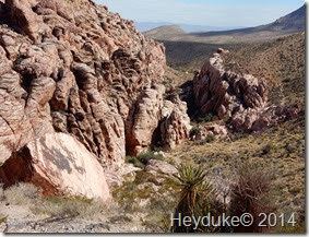
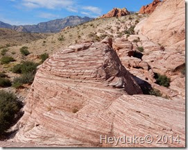
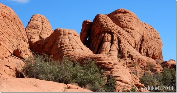
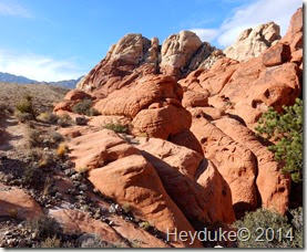
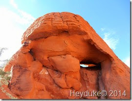
From there we started a small descent to the base of the Calico Hills where the trail then ran parallel to the Calico Hills as we hiked up and down some small hills and washes. There were some nice canyons and interestingly colored red sandstone boulders and purple striped ones as well. Walking among the brilliantly red Calico Hills made for a great hike.
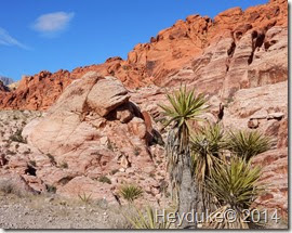
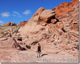
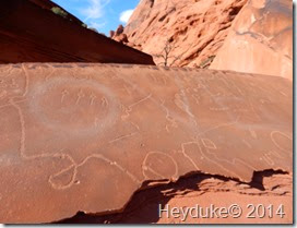
As we approached the Calico 2 parking area there were some short and steep scrambles through some rocky areas near the wash but nothing too daunting for either of us. There was a lot of beautiful rock formations along this hike and the colors of the rocks were enchanting. We did get off the trail some as we explored the nooks and crannies among the red and white sculpted sandstone formations. The coolest find of the day was a slab of sandstone with some desert varnish on it that had numerous petroglyphs carved into the rock face… pretty dang cool find!
The vegetation type there is typical of most deserts in this area with lots of different cacti and succulents. Occasional Joshua trees were interspersed with Mojave yuccas and creosote bushes. We spotted a lot of different cacti including Cholla, hedgehogs, barrel cacti and varied Opuntias. In the canyons where more water is present an occasional Pinon Pine stood tall among the Manzanita, the brome and grama grasses
We hiked from the Calico 1 Trailhead to just short of the entrance to the Sandstone Quarry. We had to take a side trail up and out of the canyon back over to the scenic loop road. There we simply hiked back downhill to where our CRV was parked. Our total hike was about 3.5 miles but surprisingly we had climbed nearly 1000 feet of elevation at our high point. Sharon uses Map my Walk on her cell phone for the stats of our hikes and once again we were surprised at the information it gathered….





Beautiful country.
ReplyDeleteOur girls use Map my Run to find different routes to take when they are in a new area. Neat app.
This park is on our radar for this trip. Glad you found a good hike for us:) Thanks! I have been looking at hikes this morning all around the area. There certainly is no shortage of hiking. Bootleg Canyon is right behind our park and has miles of trails.
ReplyDeleteDon't yo just love that area and Map my Walk is a great app. I use that and a pedometer , trying to get 10,000 steps in a day and not always easy but a worthy goal.
ReplyDeleteBe sure to head up to Mt. Charleston and do the North Loop trail. An old bristlecone pine is sitting there called Raintree. It is a great hike. My old haunt, I went up every Sunday.
ReplyDeleteJust love the Red Rock, awesome pictures.
ReplyDeleteThat is a fun place to hike. We have done that a couple of times to work off all that good vegas food.
ReplyDeleteIf you are there, check out the Monday Night Football Promotions at the Lucky 777 Brewpub at Main Street -- cheap craft beer, pizza special, and various drawings.
ReplyDelete